The coast that Ghana keeps to itself
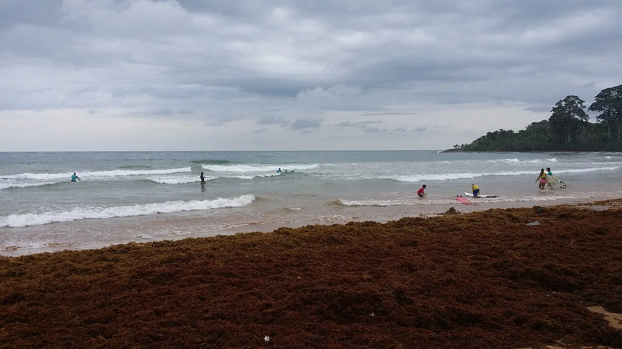
The Western Region runs from Takoradi west to the Ivory Coast border, and it is where Ghanaians who surf go. The water is warmer and the swell is more consistent than further east, the beaches are wide, and outside December you can have a long stretch of sand almost to yourself.
It is also the hardest part of southern Ghana to do without a car. The towns are spread along a coast road with patchy transport, and the best places are the ones furthest from the road.
Takoradi and the market circle
Takoradi is a working port city and the practical base for the region. It is not a resort town and does not pretend to be. The Market Circle is the thing to see: a ring of market buildings around a roundabout, busy, cheap and entirely itself.
Most people pass through on the way to Busua, which is about 40 minutes west. Use Takoradi for the bank, the ATM and the supermarket, because west of it those things get scarce.
Busua and the surf
Busua is the surf village, a long curved bay with a handful of guesthouses and surf schools, and a pace that takes about a day to get used to. The waves are beginner-friendly for much of the year, which makes it one of the few places in West Africa where you can learn properly.
Be clear about the currents. They are strong in places, there are no lifeguards, and the rule that matters is the local one: swim near other people and ask about conditions before you go in. A few hundred metres east is Fort Metal Cross at Dixcove, a British fort on a hill above the harbour, and worth an hour.
- Surf schools in Busua rent boards and teach beginners.
- Ask locally about currents. There are no lifeguards.
Nzulezo: the village on stilts
Nzulezo is built entirely on stilts over a lagoon near Beyin, reached by canoe, and it is one of the genuinely unusual places in Ghana. The community runs the visits, a guide paddles you out, and the money goes to the village.
Go in the morning when the water is calm. Take cash, because there is no card machine and no ATM within reach, and agree the price before you get in the boat. The canoe ride itself, through the lagoon channels with the forest on both sides, is half the experience.
Cape Three Points and the Ankasa forest
Cape Three Points is the southernmost tip of Ghana, a lighthouse on a headland with fishing villages either side. The road out to it is rough and you want a vehicle that can take it. The reward is the point itself and the drive through some of the least developed coastline in the country.
Ankasa Conservation Area, further north, is the wettest place in Ghana and one of the last patches of true upper rainforest left. It is not a casual visit: the trails are wet, the leeches are real, and you want a guide. If you go, go properly, with boots and long sleeves, and treat it as a serious forest trip rather than an afternoon out.
Getting there and getting around
Takoradi is about five hours from Accra by road on a good day, and there are flights. From Takoradi, the coast road west serves Busua, Dixcove, Butre and Axim. Beyond that the roads get rougher and the transport thinner.
A car and driver for a full day in the region runs roughly GHS 600 to GHS 1,000. If you want to do Nzulezo, Cape Three Points and Ankasa, budget three days and stay out west rather than day-tripping from Takoradi, because the driving will otherwise eat the trip.